Real Estate Aerials
Photos and video that show the lot, the location, and the approach, plus interior fly-throughs. The shots ground photos can't get.
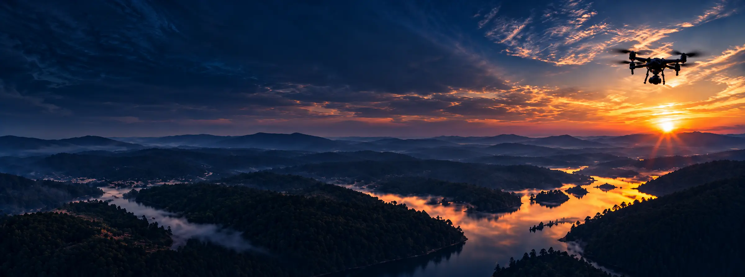

Professional aerial photo and video for real estate, construction progress, and mapping services across Colorado's Front Range.
Services
Photos and video that show the lot, the location, and the approach, plus interior fly-throughs. The shots ground photos can't get.
Dated visits that document a build as it goes up. For GCs, developers, and property managers who need a record.
Aerial maps, 2D/3D models, and topographic elevation across the Front Range.
Recent work
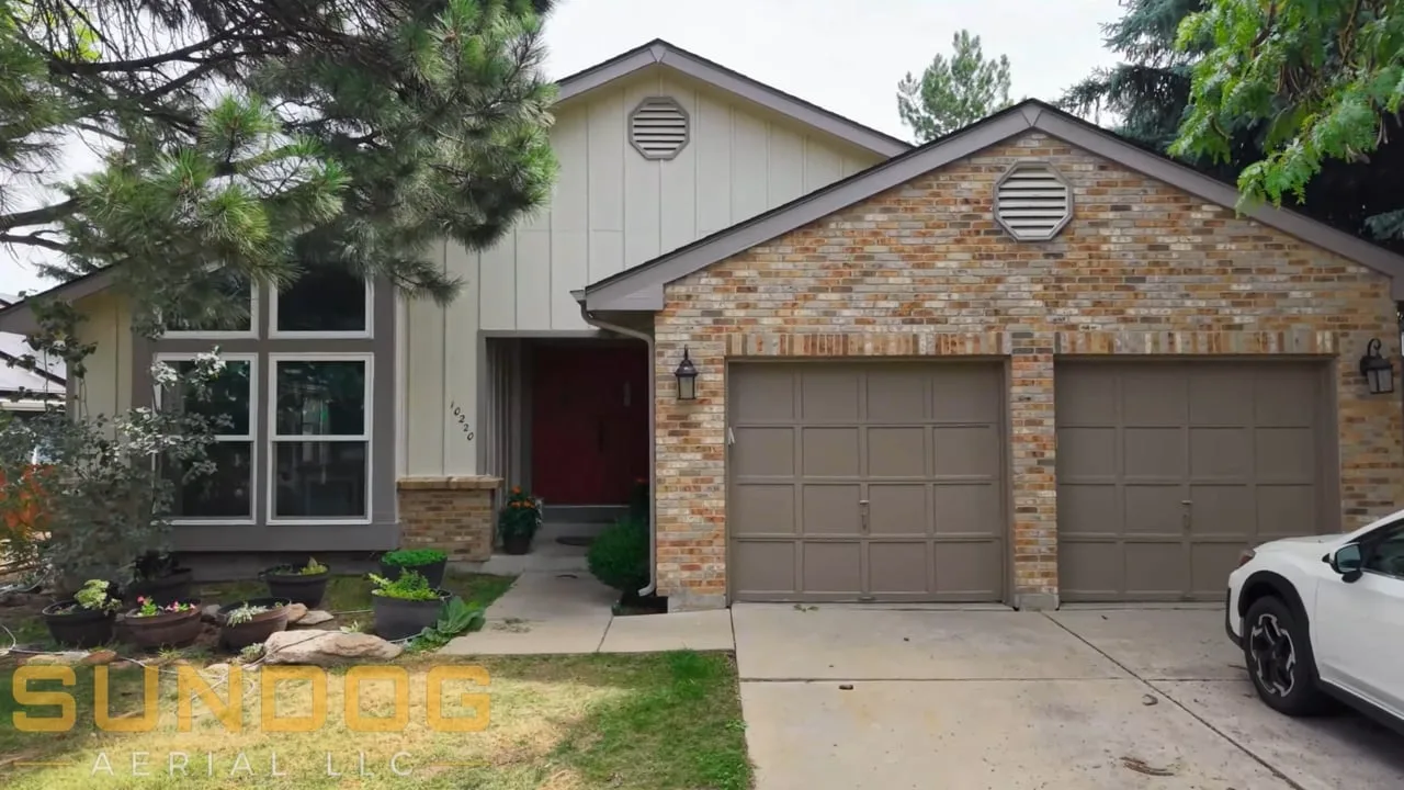
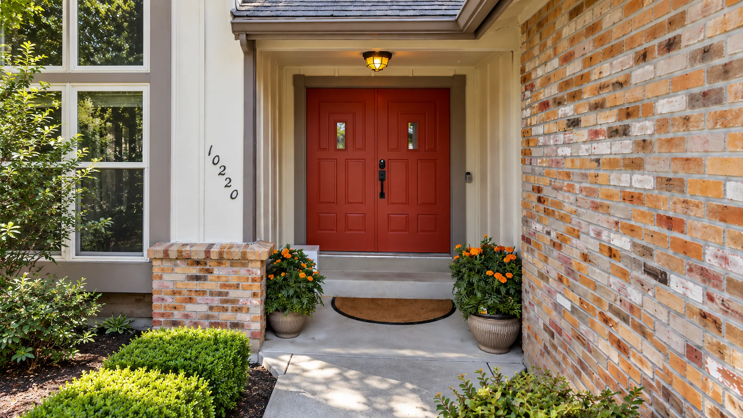
Westminster 2026
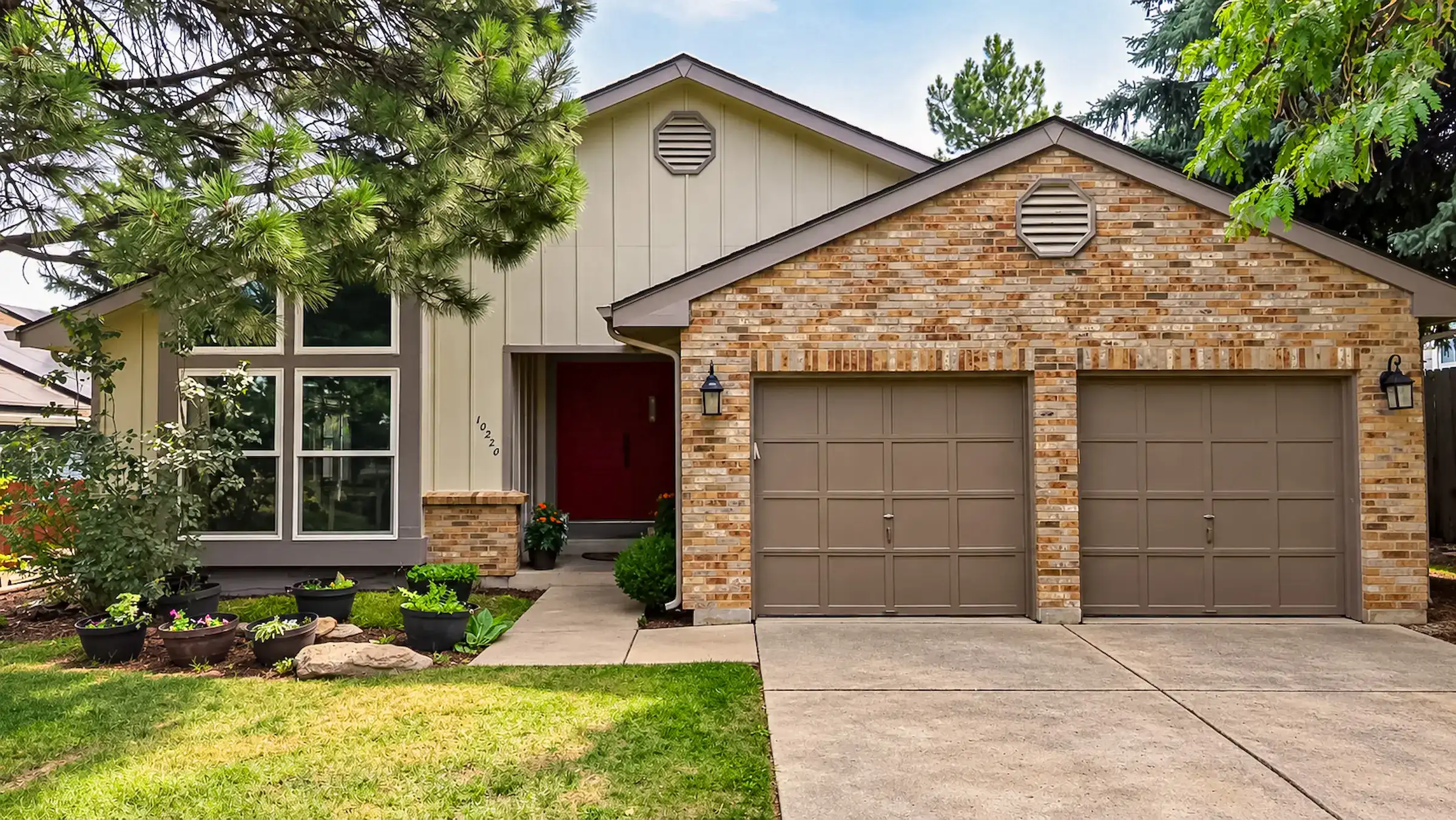
Westminster 2026
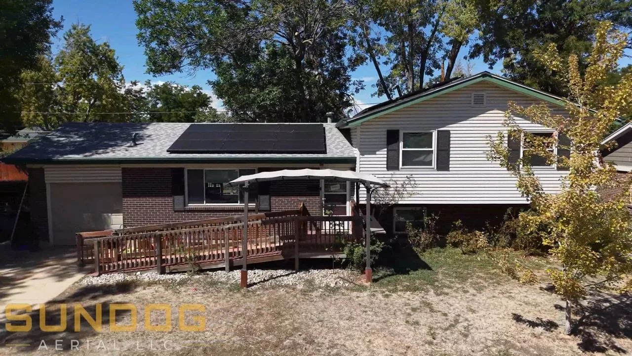
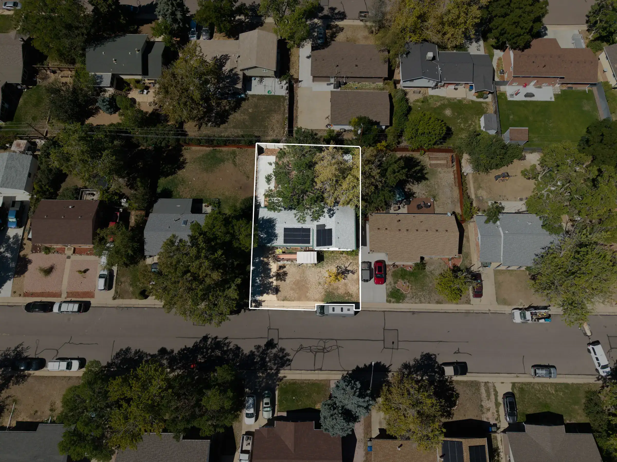
Northglenn 2026
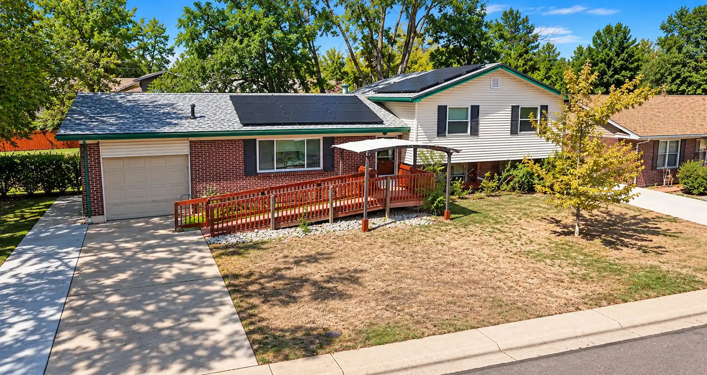
Northglenn 2026
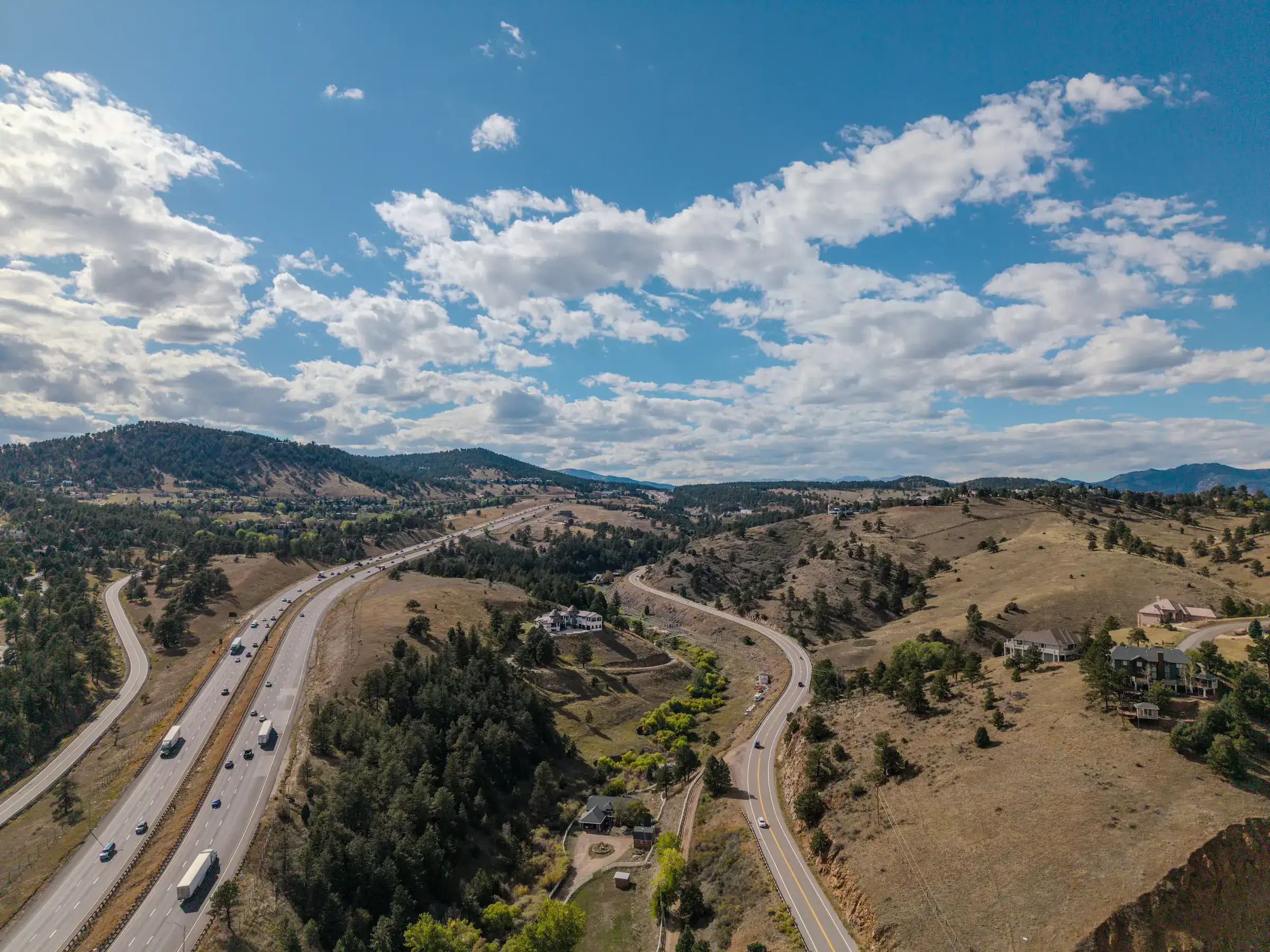
Golden 2026
How it works
Same process for every job. Same pilot every time, the whole way through, no subcontractors or handoffs.
Build your quote online or talk it through with the pilot, who confirms the price and the shot list with you before anything is scheduled.
The pilot checks the airspace, requests FAA authorization near airports (LAANC) and plans around weather. You don't need to do anything.
Spencer flies the shoot himself: FAA Part 107 certified, registered aircraft, insured up to $10M. Most shoots take up to two hours on site.
Edited photos and video arrive within 72 hours. Rush delivery is available on request for an added fee.
Get a quote
Pick your project, add what you need, and get a real number in a couple of minutes. We'll confirm it with you before anything is scheduled.